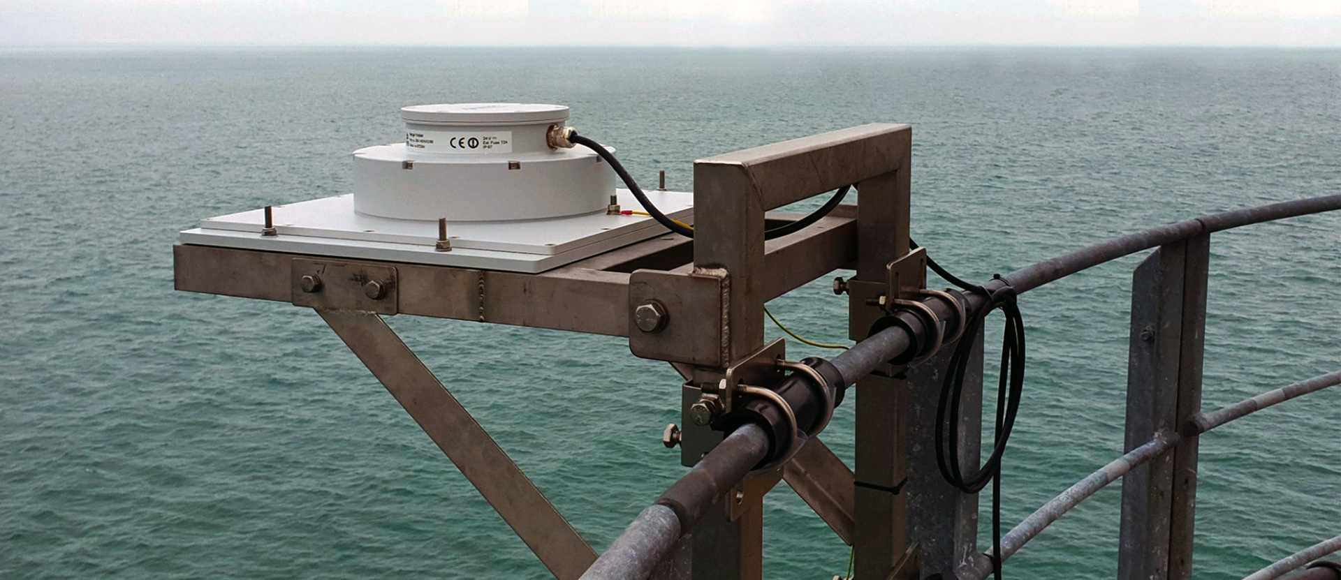
RangeFinder


Market-leading verified data accuracy
Why RangeFinder?
No calibration is needed. Ensures high accuracy and full data availability as well as integrity from day one. Independent third party equipment.
Proven ruggedness and reliability through decades of service in extreme weather conditions all over the world. Can be delivered with Atex IEC Ex certification (Ex db eb ib T6) for use in Zone 1.
Real-time and historical data can be accessed anywhere, anytime and on any device via the integrated Miros Cloud service, allowing for easy and secure collaboration between different stakeholders.
Reliable and precise measurements allow for increased productivity in weather-critical maritime operations. Ideal for incident analysis and environment specifications as well as long-term asset integrity assessments.
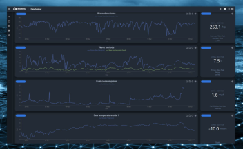
Data Analysts: Data Explorer is a great tool for data analysts who want to dive deep into their data and discover meaningful insights. With Data Explorer’s powerful querying and visualization features, you can quickly identify patterns and trends in your data that might otherwise be difficult to spot.
Operations teams: Can use Data Explorer to gain a better understanding of their operations and make data-driven decisions.
Site managers: With the ability to analyse data from multiple sources, Data Explorer can help site managers to identify opportunities for optimising their processes and reach their operational targets.
Who can benefit?