Reading Time: 4 minutes

Case Study: RangeFinder to increase safety at Margaret Bridge in Budapest

RangeFinder turned out to be the perfect match and the only sensor matching the requirements to provide highly accurate and reliable airgap and bridge clearance information in real-time.

Image: Miros’ RangeFinder installed at Margaret Bridge in Budapest, Hungary 


To download this case study, click here.

Background

Completed in 1875, the 606-metre-long Y-shaped historical arch-bridge connects Buda and Pest across the Danube and links Margaret Island to the banks of the river. It is a key point of navigation on the Danube River so river traffic management and navigational safety are priorities for the authorities, especially as the distance from the bridge to the water surface can be as low as 10m.

A European Union-funded project named River Information Services Enabled Corridor Management Execution (RIS COMEX), involving 15 partners from 13 European countries, has been initiated. It aims at implementing and operating cross-border river information services based on the operational exchange of RIS data. It is the largest RIS implementation project in Europe so far with the goal to harmonize corridor management.

As a concept, corridor management aims to improve and link existing RIS services on a waterway route or network to supply RIS not just locally, but on regional, national, and international levels to cover the European waterways. Through efficient corridor management, route planning and transport, traffic management can become a holistic system throughout the EU, rather than being fragmented at national levels.

The Challenge

Harmonising involves the standardisation of river information systems from across Europe to improve safety and efficiency as well as minimise environmental impacts. It also means implementing a state-of-the-art management system, such is the case with the Margaret bridge.

RSOE, the Hungarian National Association of Radio Distress Signalling and Infocommunications, supplies an ultramodern management system along the Danube River in which bridge clearance information plays a key role.

As the number of ships has increased over time, so too has the challenge of river navigation, particularly during high tide or flooding. Therefore, bridge clearance is essential information to ensure river navigation safety.

Located in the centre of Budapest, Margaret Bridge is a critical point for monitoring bridge clearance as the water depth under the bridge is with 3.4m quite shallow for the size of the vessels that travel the Danube River daily. Knowing the water level differences is key for safe navigation. An additional requirement was to provide a low-impact installation. Due to the historical significance of the bridge, any equipment must be installed without drilling into the bridge.

The Solution

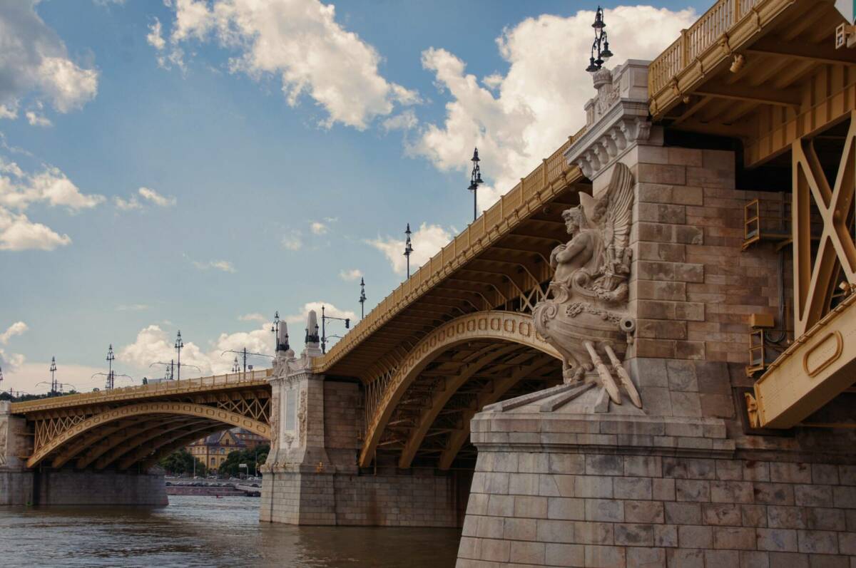
The Margaret Bridge was identified as a key location to implement a pilot station to measure bridge clearance and provide relevant information to the concerned corridor.

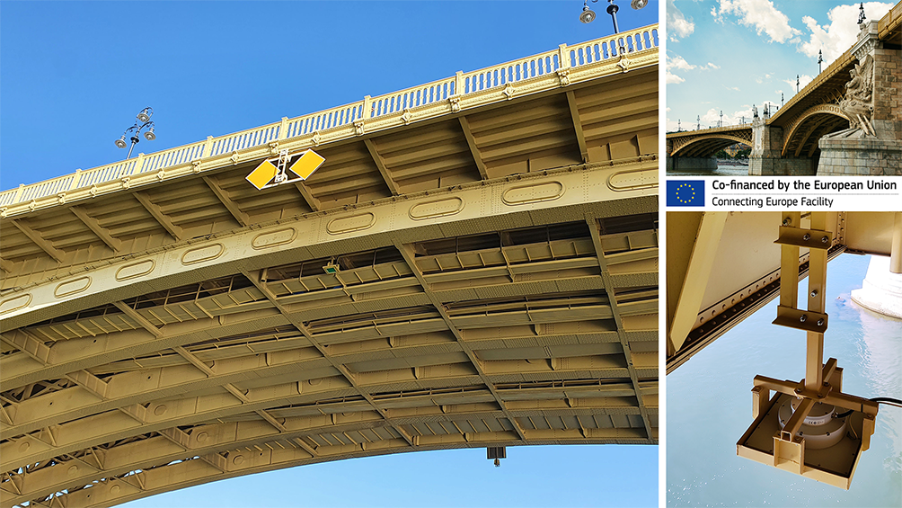
Miros’ RangeFinder was chosen to measure the vertical distance between the bottom of the bridge and the surface of the water flowing underneath.

The RangeFinder is a dry-mounted, radar-based sensor that measures airgap, tide, water level, draught, and waves, providing millimetre accuracy in all weather conditions. It provides highly reliable bridge clearance data in accordance with project requirements.

Measurements are provided in real-time so the data user at any time exactly knows the vertical allowance between the bridge and the water surface being able to ensure safe navigation and prevent accidents while keeping ships safe and on schedule.

Due to its small size and discrete design, the RangeFinder installation turned out to be nearly invisible and had no impact on the aesthetics of this historical monument.

The Value

The solution provided many benefits. In providing real-time bridge clearance with high accuracy, the data collected was critical for the waterway management authorities to ensure safe ship navigation. All resulting information is made available in the corridor management system and easily accessible to ship operators, waterway authorities, the logistics sector, and any other stakeholders. This enables instant decision-making on whether passing under the bridge is safe, at any time.

The Margaret Bridge is a challenging site as it carries an increased risk potential of river traffic accidents due to the high variations in water level. Therefore, expectations and requirements were high when choosing the solutions to improve Danube’s navigation management systems.

RangeFinder turned out to be the perfect match and the only sensor matching the requirements to provide highly accurate and reliable airgap and bridge clearance information in real-time. With that, RangeFinder supplies an added layer of information that can be fed into river information systems to minimise navigation risk.

To download this case study, click here

Read more about our solution for the Ports & Coastal market.

Contact Us

We’re happy to help you with any questions about our products and services.